Support us from £3/month
We deal with almost 1000 cases a year assisting communities, groups and individuals in protecting their local spaces and paths in all parts of England and Wales. Can you help us by joining as a member?
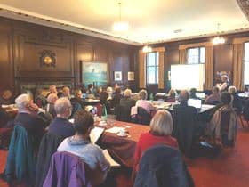
Walkers, riders and cyclists from Oxfordshire, Berkshire and Buckinghamshire gathered at Henley-on-Thames town hall last Saturday (18 November) to learn how to research and record lost public paths. Henley’s Mayor, Kellie Hinton, and Councillor Sarah Miller were there.
We organised the event with our member Henley-on-Thames Town Council. Experts Sarah Bucks and Phil Wadey presented the training.
On 1 January 2026 the official map of public paths (the definitive map) is to be closed to applications for the addition of routes based on historic evidence. Even if a route has not been used, if there is historic evidence that it was once a highway and it has never been legally stopped up it should be shown on the map. Now there is less than nine years left for people to research the records and apply to the county or unitary council to add paths to the map—regardless of whether those paths are in use. Further information is here.
It is a massive task to identify all those routes which are public highways and which must be recorded before the chance to record them is lost for ever. We need people to form groups to share the work and coordinate the effort.
For instance, each member of a group could take on a parish and research all the missing ways, or each member could look at a particular type of evidence such as inclosure awards or tithe maps. On Saturday, it was good to see people from the various counties making contact and talking about joint working.
There will be further training days in other parts of the country next year. They will be advertised here.

