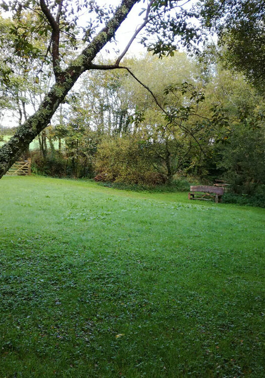
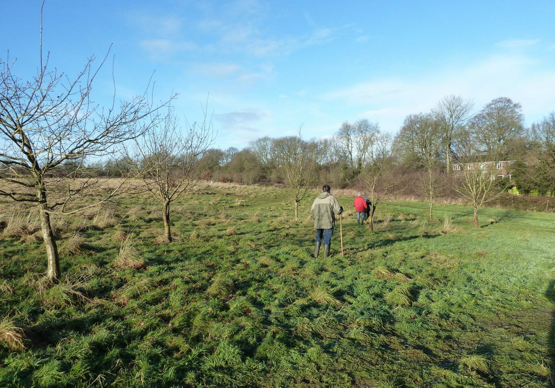
Village greens were originally small areas where local people played games. The Commons Registration Act 1965 defined them as, among other things, land on which local people had enjoyed informal recreation ‘as of right’, ie without challenge or permission, for at least 20 years. Village greens are protected from development by laws dating from the nineteenth century.
Traditional greens range from those in village centres, used for cricket and other sports, as at Ockley in Surrey and Finchingfield in Essex, to expanses at Melmerby and Dufton in Cumbria, Barrington in Cambridgeshire and Hamersterly in County Durham.
Many greens were not registered and lost their status, even though they had been used for recreation immemorially. However, 20 years after the registers were closed it once again became possible to register greens. So in 1990 the society began promoting this activity with some success.
Predictably, landowners and developers challenged the process and there has been a succession of court cases analysing every bit of the village greens definition. With support and advice from the society and its book Getting Greens Registered, people have registered land which may not conform to the traditional idea of a village-centre green. Ponds, beaches and scruffy plots can all be greens and can make a difference to people’s lives.


In 2013 the coalition government gave in to developers and changed the law in England. It claimed without evidence that people were abusing the greens registration process in order to stop development. However, despite the society’s strenuous opposition, the Growth and Infrastructure Act 2013, in England, outlaws the registration of land as a green if it is threatened by development.
Path law is changing too. Since the Wildlife and Countryside Act 1981 took effect, the claiming of public highways has been a continuous process, with surveying authorities (county and unitary councils) having a duty to keep definitive maps up to date. The authorities have always had backlogs of claims. Paths were blocked or lost under development because, until they were mapped, the authorities did not accept that they were public highways.
As an unfortunate quid pro quo to landowners for the limited freedom to roam in the Countryside and Rights of Way Act 2000, the government introduced measures to cut off the definitive maps to certain historic path claims on 1 January 2026. The promised funding to get the maps up to date was not forthcoming and in 2008 the government’s adviser Natural England set up a stakeholder group representing landowners, local authorities and users to reach agreement on how this could be resolved.
With echoes of the Common Land Forum, the group was meticulously chaired by Ray Anderson, a former civil servant. He achieved agreement between traditionally warring parties. After two and a half years the group accepted the cut-off subject to measures to speed up and streamline the claims process; they submitted the package of measures to ministers with a request for legislation.
