Support us from £3/month
We deal with almost 1000 cases a year assisting communities, groups and individuals in protecting their local spaces and paths in all parts of England and Wales. Can you help us by joining as a member?
After a long battle by Action for Access and the Open Spaces Society, walkers can now use some of the Access Land (1) at Breaky Bottom, near Lewes. A new stile has been erected. The grid reference is TQ404054 (2).
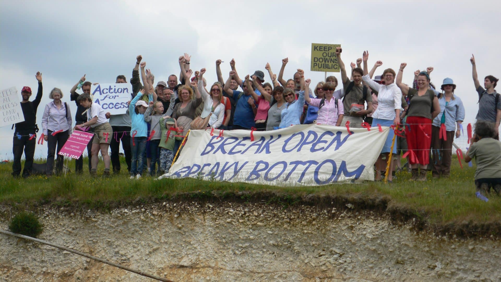
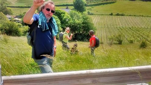
Our local correspondent Chris Smith says “The new access land is a great place to take a break and enjoy the view while walking (3) from Northease to Saltdean.”
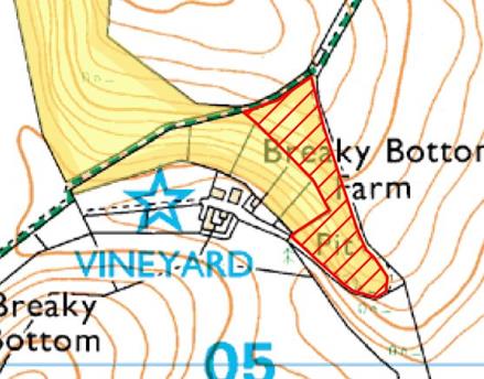
The public access area is shown in yellow/brown on the map below. But the area shown in red is still closed to the public. This is because there is a small pit on the site. The South Downs National Park says that this is dangerous, even though there are many cliffs and pits in the area where there is public access. They say that they will reinstate access if the landowner will agree to the top of the pit being fenced. But the owner of Breaky Bottom will not agree to this, even if the National Park pays for the fencing, although there is already a lot of fencing on the site.
For further information contact Chris Smith, OSS Brighton and Lewes correspondent on 01273 483869 or email.
Notes:
1 Under the Countryside and Rights of Way Act the public normally has the right to walk freely on unimproved downland. This right can be revoked for safety and other reasons. Land where you can walk under these rules is called access land. It is shown on ordnance survey maps in brown shading.
2 The national grid reference for the site is TQ404054 and the postcode is BN7 3EX.
3 A walk taking in the Vineyard can be found here.